
Overview
Required by law [P.L. 94‑171], the Redistricting Data Program gives states the ability to identify the small geographic areas—such as blocks and voting districts—for which they want decennial population totals used in reapportionment and redistricting. The 2030 Redistricting Data Program is organized into five phases, each outlining a different part of the redistricting process for the upcoming census.
- Phase 1: Block Boundary Suggestion Project
- Phase 2: Voting District Project
- Phase 3: Delivery of the 2030 Census Redistricting Data
- Phase 4: Collection of the Post-2030 Census Congressional and State Legislative Districts
- Phase 5: Review of the 2030 Census Redistricting Data Program
Prepare for Phase 1
Block Boundary Suggestion Project (BBSP)
The Block Boundary Suggestion Project (BBSP) is the first phase of the Census Bureau’s 2030 Redistricting Data Program. It gives states a narrow but important window to review and influence how census tabulation blocks will be constructed for the 2030 Census.
Each state appoints a non-partisan liaison to serve as the point of contact throughout the program and report on the state’s progress. The BBSP and other phases of the program require hands-on GIS work. It involves reviewing Census-provided geospatial data, leveraging index codes to streamline the identification of where block boundaries should or should not be held, applying flags correctly, validating against statewide authoritative data, and submitting changes through Census systems.
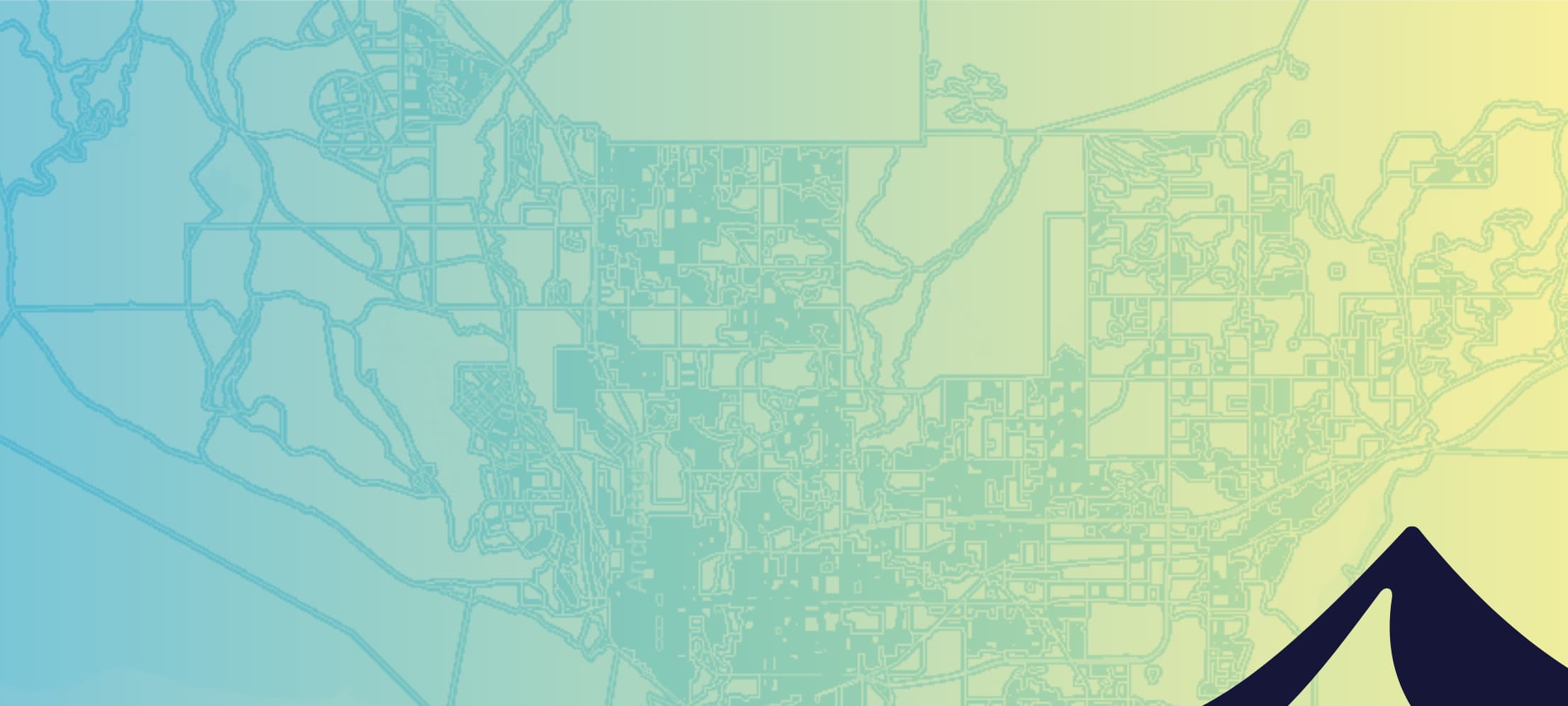
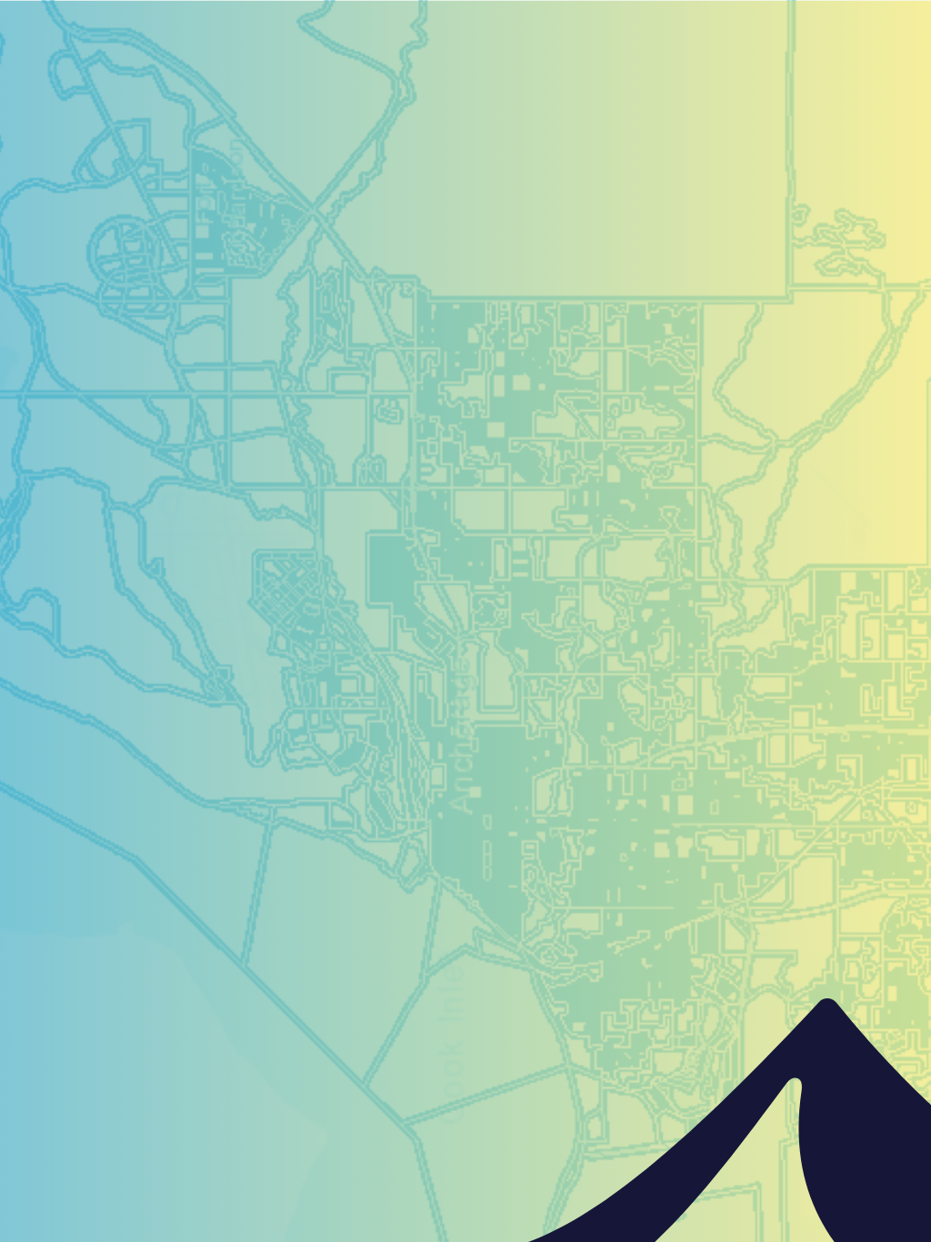
BELOW: This is an interactive example of boundary block data provided by the Census Bureau, loaded into Esri ArcGIS, for making boundary block suggestions.
What is BBSP?
BBSP allows states to suggest which linear features and boundaries the Census Bureau should use when creating 2030 census tabulation blocks.
Rather than drawing blocks directly, participants review Census-provided data and apply designations such as “Hold” and “Do Not Hold” to specific features. These designations influence how the Census Bureau’s block delineation process will close polygons and generate final blocks.

BBSP is voluntary, but it is the earliest opportunity for states to shape the geographic building blocks that will later support redistricting, precinct analysis, and downstream GIS workflows.
Why BBSP Matters
Census blocks are the smallest geographic unit delivered in PL 94-171 redistricting data. Once the Census releases final blocks, states must work within that structure.
BBSP matters because it is the only phase where states can:
- Address known block issues from the 2020 cycle
- Reduce odd-shaped or low-quality blocks before they exist
- Align block boundaries more closely to real-world features used by state and local agencies
- Improve the usability of future redistricting and election datasets
If a boundary is not reflected in the block framework created after BBSP, it cannot be introduced later.
What BBSP Actually Involves
BBSP is not a planning exercise. It is GIS production work.
Most states will need to:
- Review Census-provided linear features, area landmarks, and prototype block indicators
- Identify candidate areas for block merges, splits, or realignment
- Apply “Hold” and “Do Not Hold” flags with an understanding of Census priority rules
- Avoid creating slivers, gaps, or non-closing geometries
- Perform geometry and attribution quality checks before submission
- Submit updates using Census-approved tools and formats
The Census Bureau provides documentation, training, and software, but it does not perform this work for states.
A Practical Approach to BBSP
Successful BBSP efforts tend to follow a structured workflow:
1 | Orientation and Setup
Confirm timelines, tools, and data sources. Prepare your GIS environment and review Census guidance.
2 | Targeted Review
Use Census indicators and local knowledge to focus effort where block quality is likely to matter most.
3 | Flagging and Edits
Apply Hold and Do Not Hold flags deliberately, based on how boundaries should function as block edges.
4 | Validation
Check geometry, closure, and consistency to align with established rules and avoid rejection or unintended outcomes.
5 | Submission Readiness
Prepare files and documentation so submission is straightforward and defensible.
Common Challenges We See
States often underestimate the time and review required for BBSP. Common issues include:
- Applying flags without understanding how Census priority rules interact
- Over-flagging features that Census already holds internally
- Missing opportunities to address known block problems from the last cycle
- Discovering data validation issues late in the process
- Limited staff availability during the BBSP window
None of these are unusual. BBSP only happens once per decade, and most teams do not have standing workflows for this process.
Operational Support for BBSP Work
Some states handle BBSP entirely in-house. Others use outside support to reduce risk or extend capacity. A short assessment project can highlight gaps early, while timelines are still flexible. Support can include:
- BBSP readiness assessment and work planning
- Data preparation and statewide feature review
- Automated identification of candidate blocks using Census indicators
- Independent QA/QC before submission
- Assistance preparing files for Census submission
Support does not replace the state’s role or authority. It is focused on execution, validation, and reducing rework.
Are You Ready? Self Assessment Questions
Meeting the May 29 deadline requires a defined workflow, assigned staff, and a working QA process. If planning is informal or GIS resources are limited, delays are likely. Outside support can help structure the work, manage communications, and prevent last-minute corrections that compress the submission window.
Reviewing features one at a time inside GUPS takes considerable time. Running geospatial analysis in advance can identify blocks with unusual population counts, irregular geometry, or zero housing units. That allows the team to focus on areas where changes are most likely needed and reduces manual review time.
Block boundaries follow legal and physical features. If authoritative datasets are outdated or inconsistent, those issues will carry into the 2030 block framework. Reviewing boundary change logs and internal datasets now can identify areas that need correction before flags are applied.
Dividing work by county is practical, but it requires consistency. Some tasks can be completed statewide through geoprocessing before county review begins. Other decisions require local knowledge. A written task sequence and clear communication plan prevent counties from applying different standards.
Without defined QC rules, counties may interpret flagging guidance differently. A standard validation process should include geometry checks, closure verification, attribution review, and documentation of decisions. Consistent review at this stage reduces rework and limits downstream complications.
Talk Through Your BBSP Approach
If you want to sanity-check your plan or talk through options for support, we are happy to have a short working conversation focused on your state’s needs.
No sales pitch. Just BBSP mechanics, timelines, and practical considerations.