Category: GIS Solutions
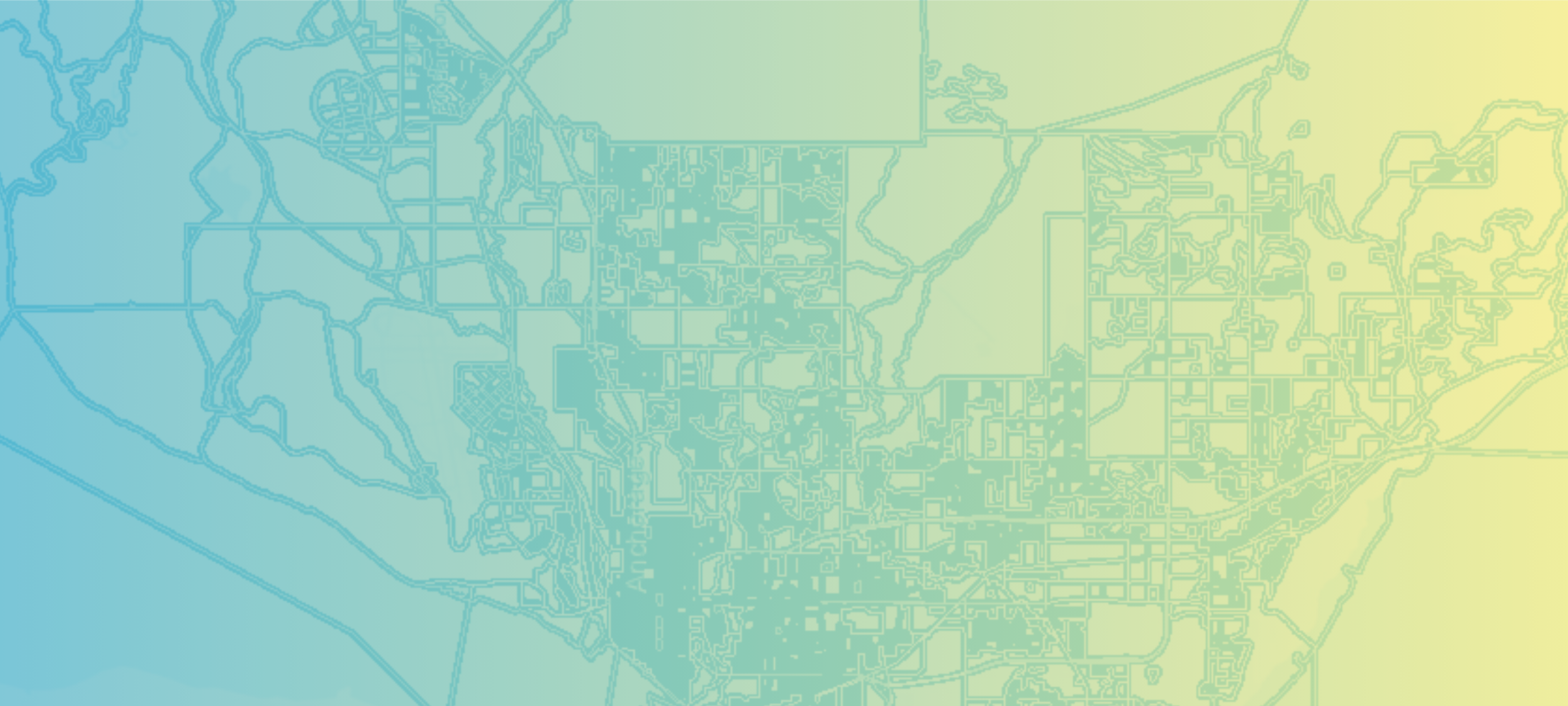
Census Bureau’s 2030 Redistricting Data Program
From blocks to voting districts, the five-phase program that helps states set the geographies behind 2030 reapportionment and redistricting.

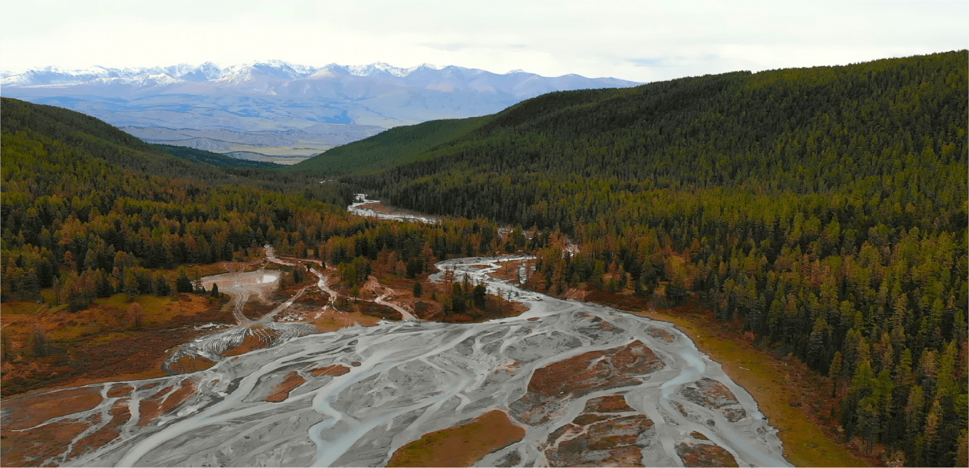
How a Unified Data Model made NPMS Readiness Possible
An Alaska oil and gas operator unified scattered pipeline records into an NPMS-ready ArcGIS model, Utility Pipeline Data Model, improving regulatory reporting and strengthening operational readiness.
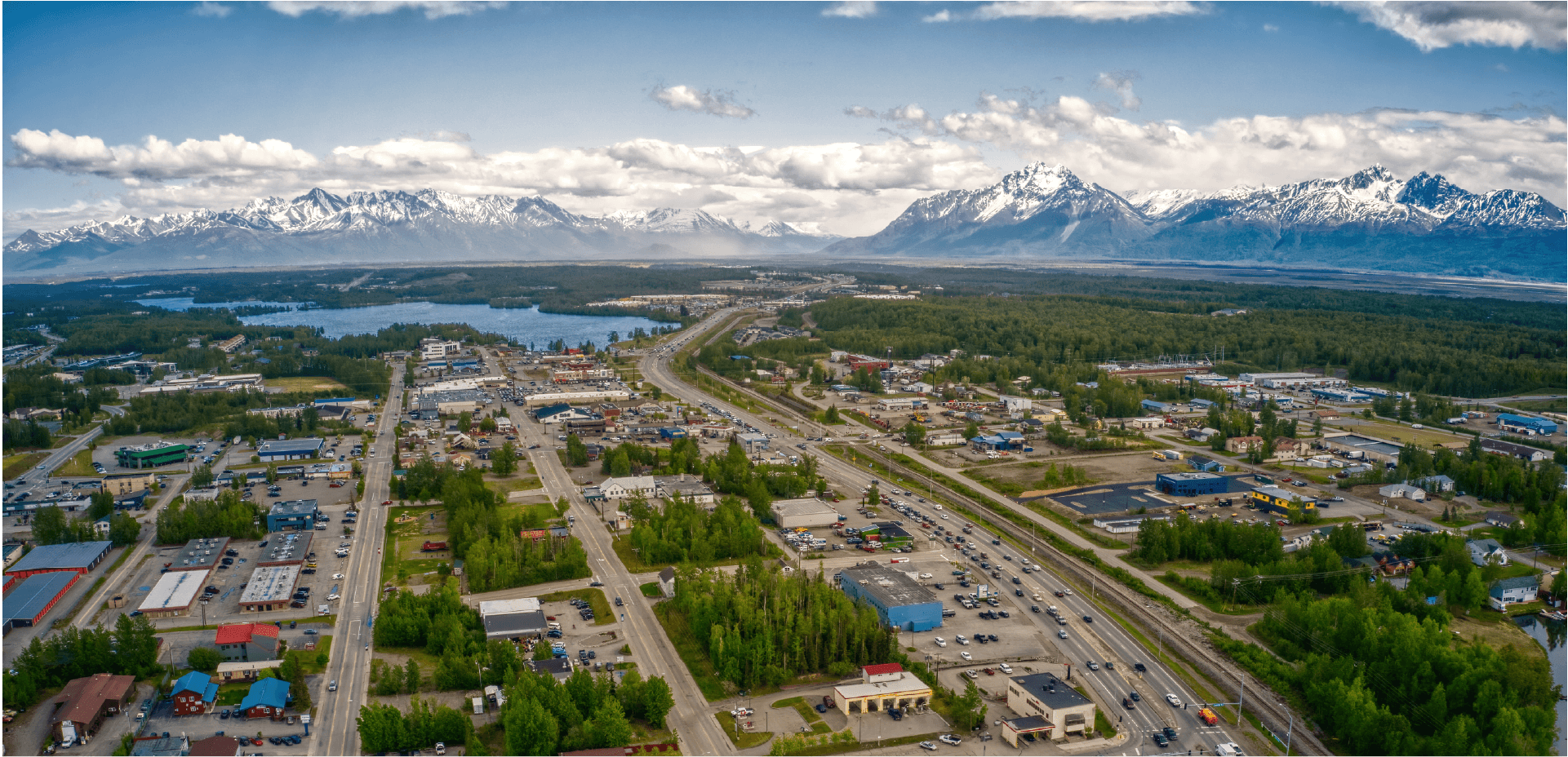
Interactive Web Map Clarifies Land Access and Supports Responsible Use
Gana-A’Yoo enhanced public awareness of its Alaska Native corporate land boundaries with a QR-enabled ArcGIS Online map, reducing unintentional trespass while strengthening long-term land management and protecting Athabascan cultural heritage.

A Unified Air Quality System Delivers Near Real-Time Data Alerts
To better protect Texans’ health, the Texas Commission on Environmental Quality (TCEQ) modernized its GeoTAM system—replacing outdated, fragmented tools with a unified ArcGIS platform that now delivers near real-time air quality data.

Hands-On GIS Modernization Builds Lasting Confidence
Ada County Highway District transformed its GIS through a hands-on modernization effort with Resource Data. The new ArcGIS Enterprise environment empowers ACHD with a cleaner, more secure system that improves efficiency and supports daily decision-making across the county.

New Utility Software Powers Faster, More Reliable Service in Petersburg
The City of Petersburg transformed decades of incomplete utility records into a modern, GIS-based digital system using Esri’s ArcGIS Solutions, enabling accurate asset mapping, efficient maintenance, and long-term infrastructure management.
Interactive Maps Improve Public Access to Information
As part of our two decade-long partnership with Mat-Su Borough, we worked collaboratively to achieve an impressive gallery of 35 interactive, online, public-facing maps and apps.

Effective Incident Response with Custom GIS Tools
Resource Data designed, procured, and deployed a complete IT network, including hardware, software, and storage capabilities, within five months.

Moving Online: Extending Electrical Service Lines Just Got Easier
A major energy company faced challenges in processing service requests from utility customers due to a cumbersome system of manual submissions and spreadsheets. Resource Data collaborated with the utility to create online request forms with GIS components and then integrated systems across departments, making it easier to submit and process requests.

Alaska Energy Hub: A GIS Solution helping fund critical energy projects
Resource Data developed the Alaska Energy Hub, a public-facing ArcGIS platform, to help Alaska Municipal League connect communities with resources and funding for energy projects. In its first year, the platform received nearly 10,000 visitors and 25 project submissions, helping communities’ advance energy initiatives.