
New Utility Software Powers Faster, More Reliable Service in Petersburg

In Brief
ArcGIS Solutions: Preserving knowledge. Powering the future.
In Petersburg, Alaska, outdated paper maps and CAD files—often missing key spatial data or showing incorrect utility locations—made electric, water, and sewer assets difficult to locate and maintain.
Resource Data and Petersburg staff updated and corrected location and attribute data by mapping thousands of assets into industry standard data models. This formed the foundation for Petersburg’s first complete digital utility system, built with Esri’s ArcGIS Solutions and efficient mobile tools.
Crews can now quickly locate infrastructure, plan maintenance with confidence, and preserve institutional knowledge for future utility network management.
Key Takeaways
From paper to power. Reliable GIS for every season.
-
Centralized GIS ensures reliable records year-round
A modernized system replaces outdated paper maps and CAD files, giving Petersburg accurate utility information for every season.
-
Integrated tools and comprehensive field data collection
Three ArcGIS Solutions were deployed and configured, loaded with CAD data, and enhanced with over 37,000 mapped features collected in just 160 hours on site.
-
Quicker, more precise service response
GPS-enabled maps guide crews directly to assets, even in snow or when buried, reducing downtime and improving reliability.
-
Live operational maps turn data into action
Interactive maps and dashboards transform complex data into clear visuals, making it easy to track progress, spot trends, and prioritize work, while field updates sync instantly with the office.
-
Fast, prebuilt, affordable tools customized for Petersburg
Esri’s ArcGIS Solutions and ArcGIS Online provided a ready-made framework that was deployed quickly, then tailored to Petersburg’s needs for a system built without the expense of starting from scratch.
-
Foundation ready for advanced capabilities
Petersburg’s GIS is built to support future enhancements like Esri’s Utility Network for greater control, smarter planning, and long-term infrastructure management.

Our Client
Petersburg Borough
Petersburg is a remote island community in Southeast Alaska, located on the north end of Mitkof Island in the heart of the Inside Passage. Surrounded by dense temperate rainforest and rugged coastline, it lies roughly 120 miles south of Juneau, the nearest regional hub and Alaska’s capital. It is only reachable by ferry or aircraft.
The Borough oversees electric, water, and sewer systems that keep the community running year-round. Serving 2,500 electric and 1,200 water and sewer customers across 15 square miles, these essential services are central to Petersburg’s ability to support its residents and local businesses.
Challenges
Outdated maps put critical knowledge at risk
Reliable utility records are vital to keep water, power, and sewer services running. But Petersburg’s most up-to-date digital record was a CAD file that couldn’t be exported to GIS and available paper maps were outdated, some dating as far back as the 1980s.
Petersburg’s location and climate made these data gaps even more costly. Snow and gravel roads often hid manholes, valves, and other buried assets, forcing crews to rely on guesswork and memory. With only one staff member experienced in GIS, there was also little capacity to correct records or modernize systems.
Without a centralized, accurate digital record, Peterburg faced continued inefficiencies, costly delays in locating infrastructure, and higher operational expenses. It also risked falling further behind in adopting advanced GIS capabilities, limiting long-term infrastructure upgrades and increasing the chance of service disruptions.

The Solution
A reliable, easy-to-use utility inventory
Petersburg’s first complete digital utility system was built by combining modern GIS tools with on-the-ground data collection. Three prebuilt Esri ArcGIS Solutions (Electric Distribution Data Management, Water Distribution Data Management, and Sewer Data Management) were deployed as the foundation, instantly providing dashboards, web maps, and standardized data models. These were then customized with key fields crews rely on, such as equipment type, make, and installation date.
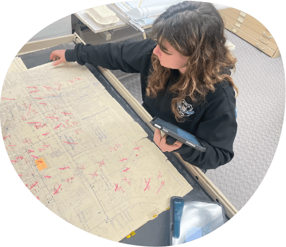
Historic paper maps, aerial imagery, and AutoCAD files were reviewed and corrected to recover what could be used, while outdated entries were removed. Each asset was tagged by its source so staff can easily see whether information came from high-accuracy GPS collection or legacy records.
Resource Data GIS specialists were on the ground for two weeks in Petersburg, working side-by-side with local crews to map thousands of assets, including transformers, fire hydrants, and manholes. This ensured accuracy while also giving Borough staff hands-on training with the new tools. Using mobile iPads running ArcGIS Field Maps paired with Bad Elf GNSS receivers, the team was able to pinpoint assets within just a few meters.

It was one of the most rewarding jobs I’ve ever done. Watching people who had used paper maps their whole lives actually smile when talking about GIS was incredible.
Evalina Macejka, GIS Programmer, Resource Data
Features
Efficient data and software for lasting utility management
-
One trusted source for every record
Legacy maps and files were combined into Esri’s ArcGIS Online (AGOL) system, corrected for errors, and tagged by source. The system also lays the groundwork to connect with maintenance tools or new datasets in the future.
-
GPS apps for precise field mapping
ArcGIS Field Maps with Bad Elf GNSS receivers guide crews, prompt for asset details, and capture coordinates that improve location accuracy.
-
Real-time sync between the field and office
With automatic syncing, changes made in the field are visible immediately. Everyone works from the same information, enabling quicker decisions, avoiding duplicated effort.
-
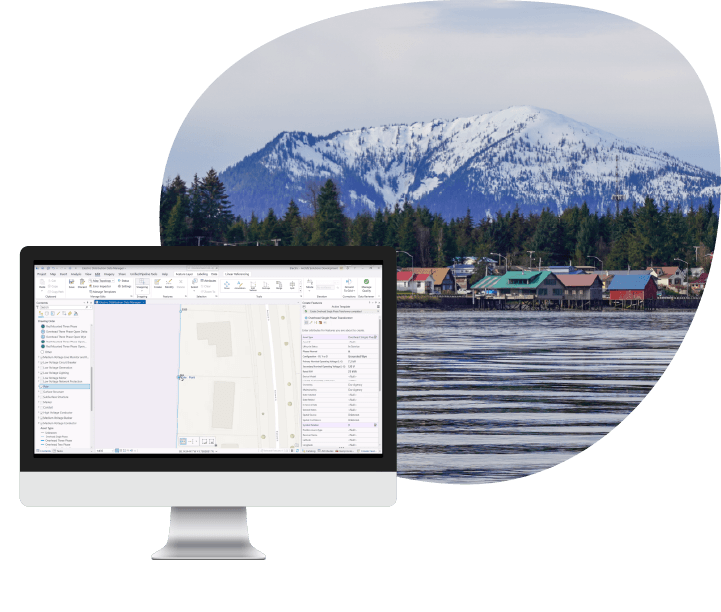
Maps and dashboard that turn data into clarity
Live maps and dashboards turn raw data into visual insights, helping staff track progress, identify trends, and prioritize work.


Now there’s one system that’s reliable. Staff can quickly open it in a web browser, see exactly where the infrastructure is, and head out to the right location.
- Tasha Jackson, GIS Service Lead, Resource Data
Results
Better information that offers faster service for the community
With all electric, water, and sewer assets mapped into ArcGIS Solutions, Petersburg now has accurate, up-to-date utility information. Crews in the field can quickly find and update asset details—even when snow or weather conditions make infrastructure harder to locate—while office staff see those changes instantly.
The impact is faster response when issues arise, better coordination between teams, and the ability to plan maintenance more efficiently. For the community, that means quicker repairs, fewer outages, and the confidence that essential services will keep running smoothly in every season.

What's Next
Scaling momentum across the organization
With Petersburg’s first complete utility system in place, the Borough now has a solid foundation to expand on. The centralized inventory paves the way for planned enhancements like integrating maintenance and work order management, which will automate how tasks are organized and scheduled.
Longer term, Petersburg can move to Esri’s Utility Network, which offers advanced modeling and analysis. This will make it easier for staff to trace issues, test scenarios, and prioritize future investments.